Consumer drones · Quality-guided capture · 3D Gaussian Splatting
OpenFlyScanA Quality-Guided Aerial Reconstruction System for Consumer Drones
TL;DR: OpenFlyScan predicts regional 3DGS reconstruction quality and guides targeted reacquisition with consumer drones to improve large-scale urban reconstructions.
Video
Real-world takeoff, automated capture, regional quality prediction, targeted reacquisition, and reconstruction for UAV simulation.
Overview
Constructing large-scale urban 3DGS assets remains constrained by equipment costs and delayed quality feedback. Preset surveys can leave complex surfaces insufficiently observed, with defects discovered only after reconstruction. OpenFlyScan is a quality-guided aerial reconstruction system for consumer drones that integrates a GS quality model, a reacquisition planner, and a custom-designed mobile app.
The model learns from GS rendering errors to predict regional quality before target-scene reconstruction. These predictions guide complementary reacquisition strips, executed through the app, which also supports automated oblique surveys and data transfer without additional onboard hardware. Initial-survey and additional images are jointly reconstructed.
Reconstructed Scenes
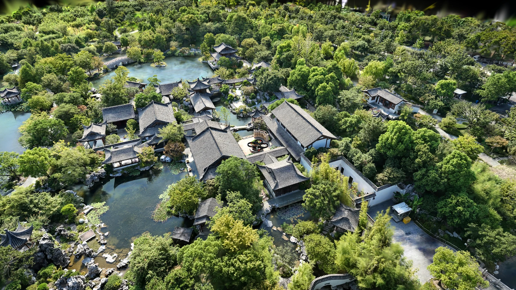
Field captures and reconstructions of real-world datasets. Simulation scenes are excluded.
Method
The mobile app manages capture and mission execution, while a remote workstation predicts regional reconstruction quality and plans targeted reacquisition.
GS quality model
The GS quality model consists of a frozen pretrained Pi3X backbone and a trainable cross-modal Quality Predictor. It combines multi-view image features, feed-forward geometry, and relative camera geometry to predict regional reconstruction quality.
Base supervision uses measured regional GS rendering errors; Sparse supervision uses weak targets constructed by removing supporting observations.
Read the method in the paper ↗Real-World Reacquisition Results
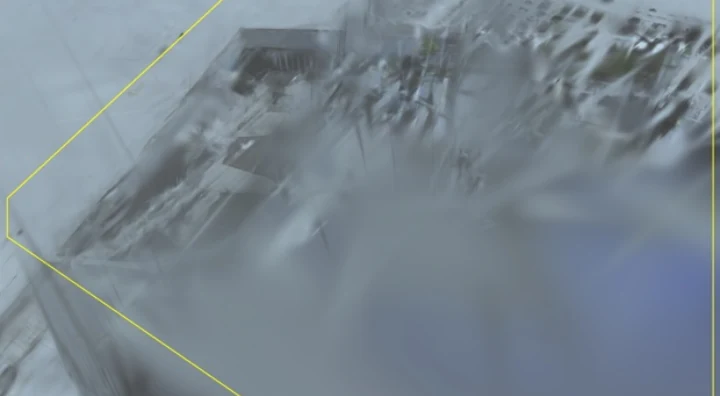
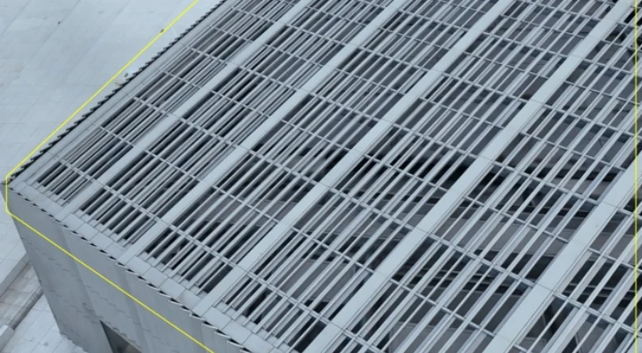
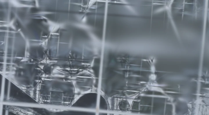
At Expo West, our method improves the reconstruction of roof grating and glass-panel boundaries. The sliders compare the initial reconstruction with joint reconstruction after targeted reacquisition.
 BeforeOurs
Roof grating
 BeforeOurs
Glass roof
View the full comparison with SfM and SwiftMap-Adapt
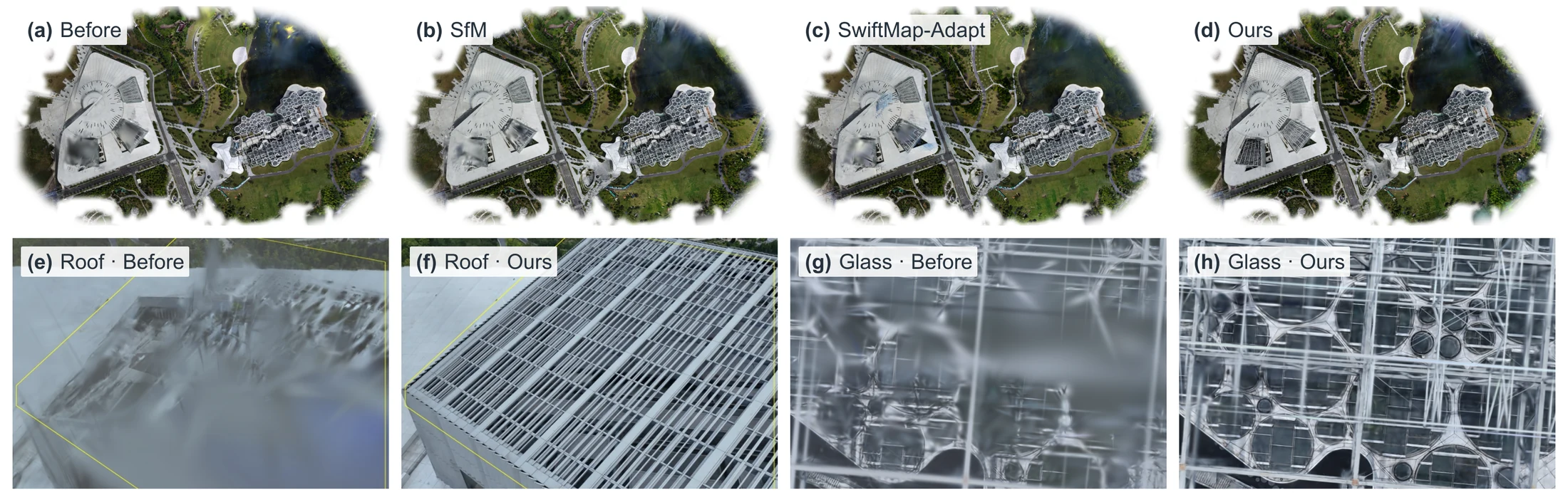
Original comparison from the paper. The reported PSNR gain is evaluated at registered additional views, not across the entire scene.
Resources
The full paper ↗
Method, experiments, and implementation details.
PDF available02 / Code & modelReconstruction system
Quality prediction, reacquisition planning, and simulation integration.
Planned release03 / Mobile appsConsumer-drone capture
Automated oblique surveys, data transfer, and targeted reacquisition.
Planned release04 / Gaussian scenesReconstructed scenes ↗
Explore selected real-world reconstructions from public datasets and our own captures.
Online viewer · Downloads plannedBibTeX
@unpublished{you2026openflyscan,
  title = {OpenFlyScan: A Quality-Guided Aerial Reconstruction
           System for Consumer Drones},
  author = {You, Zhongrui and Li, Zhen and Liu, Junli and
            Wang, Zhigang and Zhao, Bin},
  year = {2026},
  note = {Preprint}
}
Preprint citation. The arXiv identifier will be added after publication.
Acknowledgments
We thank Shanghai Artificial Intelligence Laboratory for providing computing resources, UAV platforms, experimental facilities, and technical support for model training and real-world deployment.